Hengistbury Head Maps, Plans Outlines, Diagrams and PDFs
Attached to this webpage are a number of pdf's. Each pdf contains a single map/plan/outline of Hengistbury Head. The pdf version of the image outline should occupy a single A4 sheet.
I hope these outlines/maps may be of use on preparing course-work or dissertations on Hengistbury Head. They are, by their nature "artists impressions" and are now several years old. Personally though I still think they are reasonably accurate. However, they come as they are. It is up to you to verify that they meet your needs. They are provide free and "as is". I hope they help.
Hengistbury Head - A Basic labelled Map
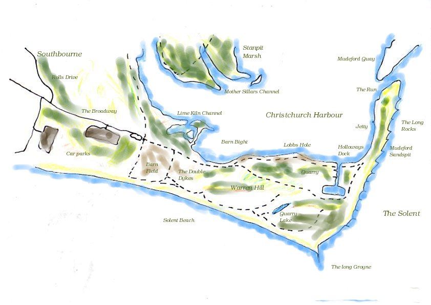
A basic labelled map of Hengistbury Head
Hengistbury Head - A Basic labelled Map - PDF here
Hengistbury Head - With footpaths but no labels
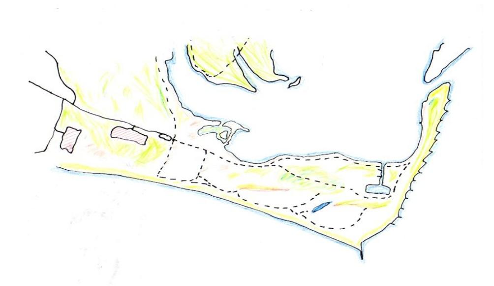
A basic unlabelled map of Hengistbury Head
Hengistbury Head with footpaths but no labels - PDF here
The third map is simply an outline which may be more useful if you intend adding your own data to it and do not want any other clutter
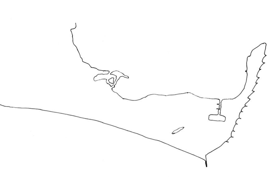
A bare outline of Hengistbury Head
A Bare Outline of Hengistbury Head PDF-here